Anchorages in Malta, Gozo and Comino: which wind suits each
A round-the-islands guide to the bays of Malta, Gozo and Comino: what each is like, which winds it is sheltered from and what to watch for.
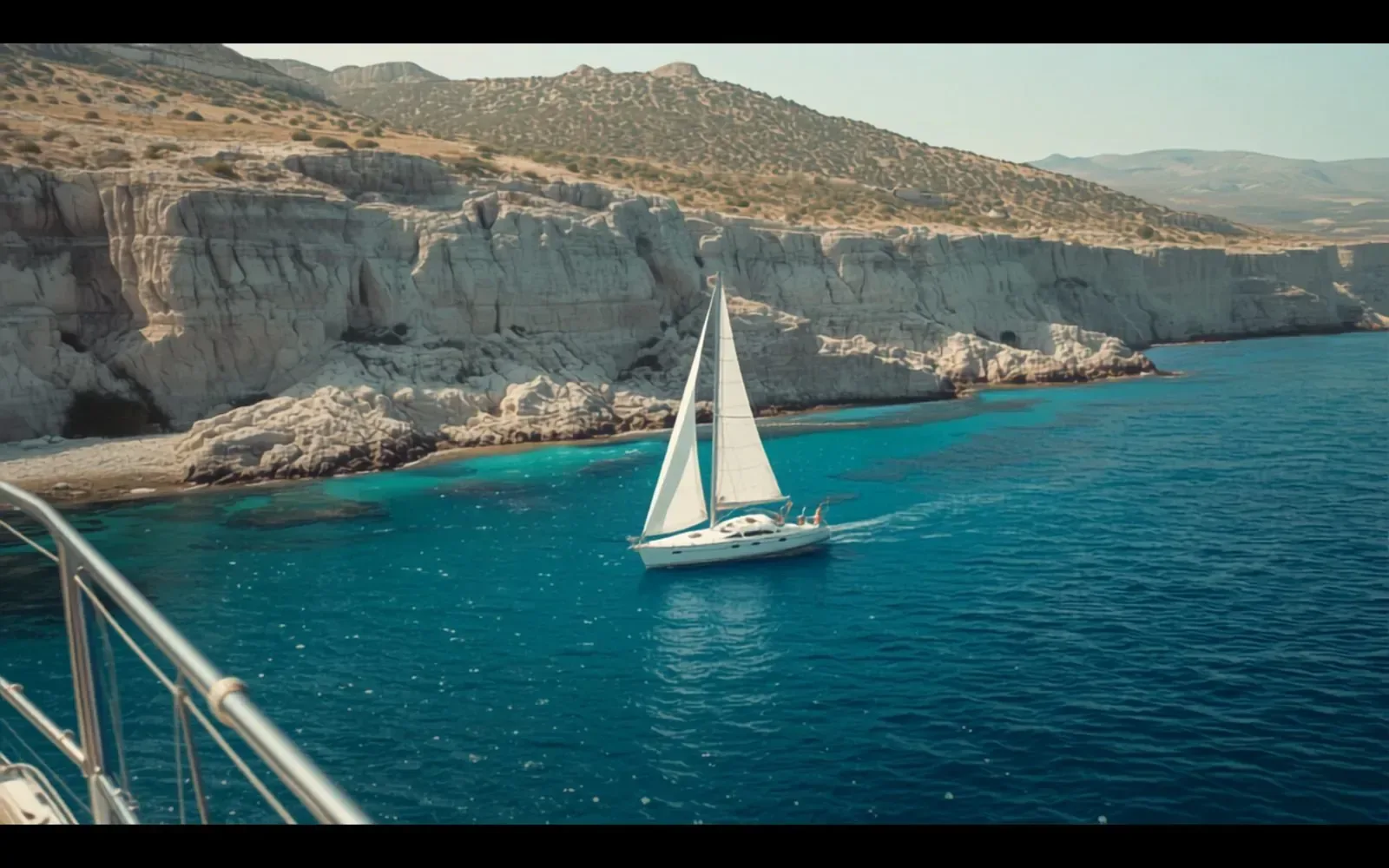
Malta, Gozo and Comino are small islands with coasts that face every direction. Whatever the wind, some bay is in the lee, and it is rarely far away. The skill is to pick the bay for the day’s wind, not the other way round. This guide goes round the well-known anchorages and says what each is like, which winds it is sheltered from and what to watch for.
It is a shortlist to plan with, and no substitute for a current chart and a pilot book. The conditions on the day decide.
In short
- A bay is open to the direction it faces. Choose one that faces away from today’s wind.
- The prevailing wind is north-westerly, so bays that face south and east are the usual choice. The west coast is for easterlies and calm days.
- Swimmer zones, mooring areas and closed areas change. Read the current Notices to Mariners before you go.
How to pick a bay for the day’s wind
Start with the forecast direction, then look for a bay whose mouth points the other way. Our guide to the eight winds of Malta explains the Maltese names you will hear and which coasts each wind reaches.
Two cautions. Swell outlasts the wind and bends round headlands, so a bay that was open to yesterday’s wind can still roll today. And most of the places below are day anchorages. If the forecast for the night is doubtful, a berth is the better plan: see marinas in Malta.
Comino: the Blue Lagoon and the quieter bays
- Blue Lagoon (Bejn il-Kmiemen). The channel between Comino and the islet of Cominotto: white sand, very clear water, and the busiest spot in the islands. Tour boats and ferries come and go all day in season, and the lagoon has its own swimmers’ zone marked by buoys. Comino shelters it from the east and Cominotto from the west. It is open to the north-west and to the south. Go early or late in the day.
- Crystal Lagoon. The next inlet south, under cliffs and caves. Sand bottom. Open to the south-west and west. Tripper boats by day, much quieter once they leave.
- Santa Marija Bay and San Niklaw Bay. On Comino’s north coast, each with a beach at its head, and usually quieter than the Blue Lagoon. Sheltered from the south. Open to the north, so not for a tramuntana or a grigal. Both have swimmers’ zones.
Gozo: south coast inlets, Dwejra and the northern bays
- Mġarr ix-Xini. A narrow inlet in a gorge on the south coast, west of Mġarr harbour, with a small pebble beach. Sheltered from the north-west. Open to the south. There is little room to swing.
- Ix-Xatt l-Aħmar. A quiet bay on the south-east coast below Fort Chambray. Good in a north-westerly, open to the south. Dive wrecks lie just offshore, so check the notice on conservation areas around wrecks before you anchor.
- Xlendi. A narrow inlet on the south-west coast with a village at its head. Sheltered from the north and east. Open to the west and south-west, and any swell from there runs straight in.
- Dwejra. The bay behind Fungus Rock (Il-Ġebla tal-Ġeneral) on the west coast, where the Azure Window stood until it collapsed in 2017. Sheltered from the north round through east to south. Open to the west. Anchor on the pale sand patches between the seagrass and the rock. Swell and gusts often make for an uncomfortable night.
- Marsalforn, Ramla, San Blas and Daħlet Qorrot. The bays of the north and north-east coast. Ramla has a wide sandy bottom off its red beach. All are sheltered from the south and open to the north, so they suit southerly winds and settled weather.
The north and west of Malta
- Mellieħa Bay (Għadira). Malta’s largest sandy beach sits at the head of a wide, shallow bay. Sheltered from the west and south. Open to the north-east and east, so not for a grigal. Transport Malta has laid out mooring areas and fairways (marked channels that must be kept clear) here. Check the notice for where you may anchor.
- Armier and Little Armier. Sandy bays on the northern tip, facing Comino. Sand with good holding. Sheltered from the south and east. Open to the north.
- St Paul’s Bay, Mistra and Xemxija. A long bay, open to the north-east. Mistra, tucked into the north shore, is sheltered from the north and west. An organised mooring area at Buġibba takes up part of the bay and moorings have been cleared elsewhere in it, so check the notices before you choose a spot.
- Golden Bay, Għajn Tuffieħa and Ġnejna. The three sandy bays of the west coast. Sand. Sheltered from the north-east round to the south-east. Open to the west and north-west, which is where the prevailing wind comes from, so these are bays for easterlies and calm days. Busy at weekends. A notice warns of an underwater hazard at Għajn Tuffieħa.
The south and east of Malta
- Blue Grotto (Wied iż-Żurrieq). Cliffs and sea caves on the south coast. Sheltered from the north. Wide open to the south. The bottom is sand with a lot of rock, so place the anchor with care. Tour boats work the caves through the day.
- Marsaxlokk Bay. The big bay at the south-east corner, home to most of Malta’s fishing fleet, with the Freeport container terminal on the Birżebbuġa side and the power station at Delimara. Sheltered from the majjistral. Open to the south-east, the xlokk that gives the village its name. Ships manoeuvre here and moorings have been cleared from parts of the bay, so check the notices and keep well away from the commercial areas.
- Il-Ħofra l-Kbira and Il-Ħofra ż-Żgħira. Two coves on the east side of the Delimara peninsula. Sheltered from the south-west round through north to north-east, so a good choice in the prevailing north-westerly. Open to the south-east. Sand with good holding in the larger cove, sand and weed in the smaller. Full of motorboats on summer weekends, quiet at night.
- St Thomas Bay (Il-Bajja ta’ San Tumas). A wide bay south of Marsaskala. Sheltered from the north round through west to south-west. Open to the east. Mostly sand, with some rock and seagrass to avoid.
- Valletta, Sliema and St Julian’s. North of Marsaskala the natural shelters are working harbours. Grand Harbour and Marsamxett have ferries, commercial traffic and marked fairways, and both face the grigal. Treat them as places to berth. St George’s Bay in St Julian’s has an entry restriction.
Rules that change: swimmer zones, moorings and notices
Each season Transport Malta marks zones reserved for swimmers in bays around Malta and Gozo. They are buoyed off, and boats stay out. The bays of Comino have notices of their own. In recent years the seasonal zones have stayed in place until the middle of October.
Other notices cover:
- organised mooring areas and fairways, for example in Mellieħa Bay and at Buġibba;
- areas closed because of the danger of falling rocks under cliffs;
- conservation areas around wrecks;
- protected zones, such as the one set up in Salina Bay in 2026;
- speed limits close to small craft, mooring areas and marinas.
These change during the year, sometimes for a few days for a swimming race or a fireworks display. Read the current Local Notices to Mariners from Transport Malta before you go.
One piece of good seamanship applies everywhere: anchor in sand, not in seagrass. The dark patches on the bottom are posidonia meadows, a protected habitat that an anchor tears up. An anchor holds poorly in them anyway.
After a day at anchor: what to rinse and check
Salt left to dry on the boat marks gelcoat and pits stainless steel. Back on the berth:
- Rinse with fresh water from the top down: decks, windows, stainless steel, the swim platform and the ladder.
- Rinse the anchor, the chain and the windlass (the winch that hauls the anchor), and let the chain locker drain.
- Rinse the tender and flush the outboard with fresh water.
- Check the raw-water strainer (the filter on the engine’s sea-water intake) for weed and plastic.
- Look at the anchor shackle and the wire that locks its pin.
- Check the bilge is dry, then put the batteries back on charge.
- Set the lines and fenders for the berth again, not for the day you have just had.
If you fly home the same evening, this is what a care visit is for: a washdown with fresh water and a visual check that everything is still in order, with a dated photo report. It is part of every care plan.
Need this done on your boat?
Care plans
Back on the berth: a fresh-water washdown and a look over, with photographs.