How do I navigate my boat as a new boat owner?
So you have gotten yourself a boat and you’re interested in learning more about how to navigate it? We’ve got you covered.
So you have gotten yourself a boat and you’re interested in learning more about how to navigate it? We’ve got you covered. Yachting.mt, a yacht care company in Malta, has put together the basics.
One might say that in life we are always navigating, in one way or another. Whether we’re out for a stroll at the nearest Marina in Malta or just driving to our next destination, we see ourselves putting to use our navigation knowledge and skills. However, navigating on water is just that little bit more challenging and complex. Your next question here would be “why”, and the simplest answer to this is that while on water you don’t have streets or paint on the ground guiding you to your next destination. What’s below the surface is not as easily identifiable and seen as it is on the surface, especially also since on land there’s much more artificial lighting when traveling at night for instance. Nonetheless, people travel by boat at night all the time. So if they can do it, so can you. How? By following one of two main methods of navigation that we will be looking into more detail right now!
Navigating Traditionally as a New Boat Owner
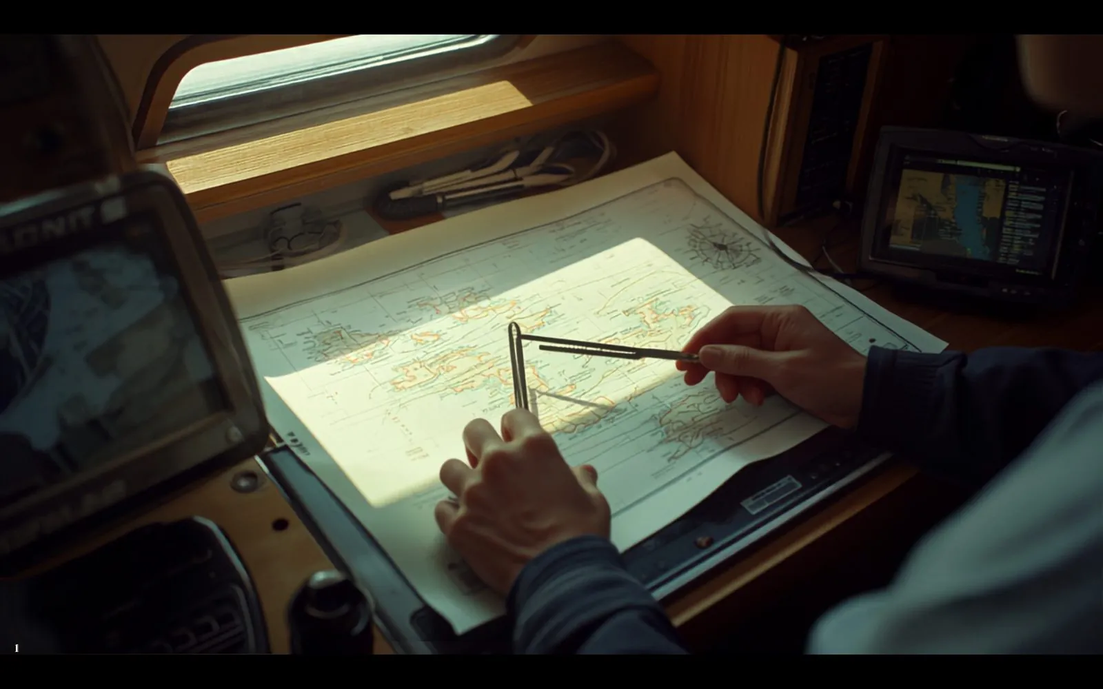
Well , for many many years, humans have managed to navigate the seas without having equipment and electronics like the GPS. How did they do this? Well they learnt how to navigate with their own eyes and merge it with standard navigation tools like a compass, maps and nautical charts, tools such as parallel rules and dividers and a watch.
The compass is able to tell you the direction you’re heading to, whether north, south, east or west, specific to the degrees. Nautical charts are maps that showcase navigable waterways. You can check an awesome global nautical map online from here. The parallel rules help you understand and navigate a map/chart. Using the two rulers attached with swiveling arms, you can understand bearings and distances. The dividers tool helps you to measure distance on a chart by separating its two points. It would come in handy for you to also have a pencil and an eraser with you to be able to draw up markings on the chart as well as a watch to help you keep track of time.
Now you know the tools that will come in handy, you might start to ask about the process of putting these tools to good use in your navigation mission. What do you need to do to go from Place X to Place Y?
-
Start off by locating your position
-
Create your route with bearings
-
Plan another potential route
-
Use Dead Reckoning to plot your position
Navigating Electronically as a New Boat Owner
Now that you have a basic idea of how to navigate in the traditional way, let us give you also an insight into how to navigate electronically. While navigating traditionally is an important thing to know, especially in case technology fails, navigating electronically makes people’s lives sooo much easier, albeit it not being cheap.
- Chart plotter. This is considered to be the most popular and important electronic navigation tool. It provides a digital chart that can be used for plotting a course or fixing your location etc.
- Automatic Identification System (AIS). These are receivers/transmitters that help locate dangers that are not visible to the eye.
- Radar. This releases pulses that are reflected by solid items that are out of sight such as other ships or land that are kilometers away from the horizon.
- Depth-sounder. This helps you get a better result than that produced by chart plotters. It helps you understand changes in depth better.
How about now? Do you feel ready to set sail?
Need this done on your boat?
Care plans
Someone checks on your boat every month, with photographs.